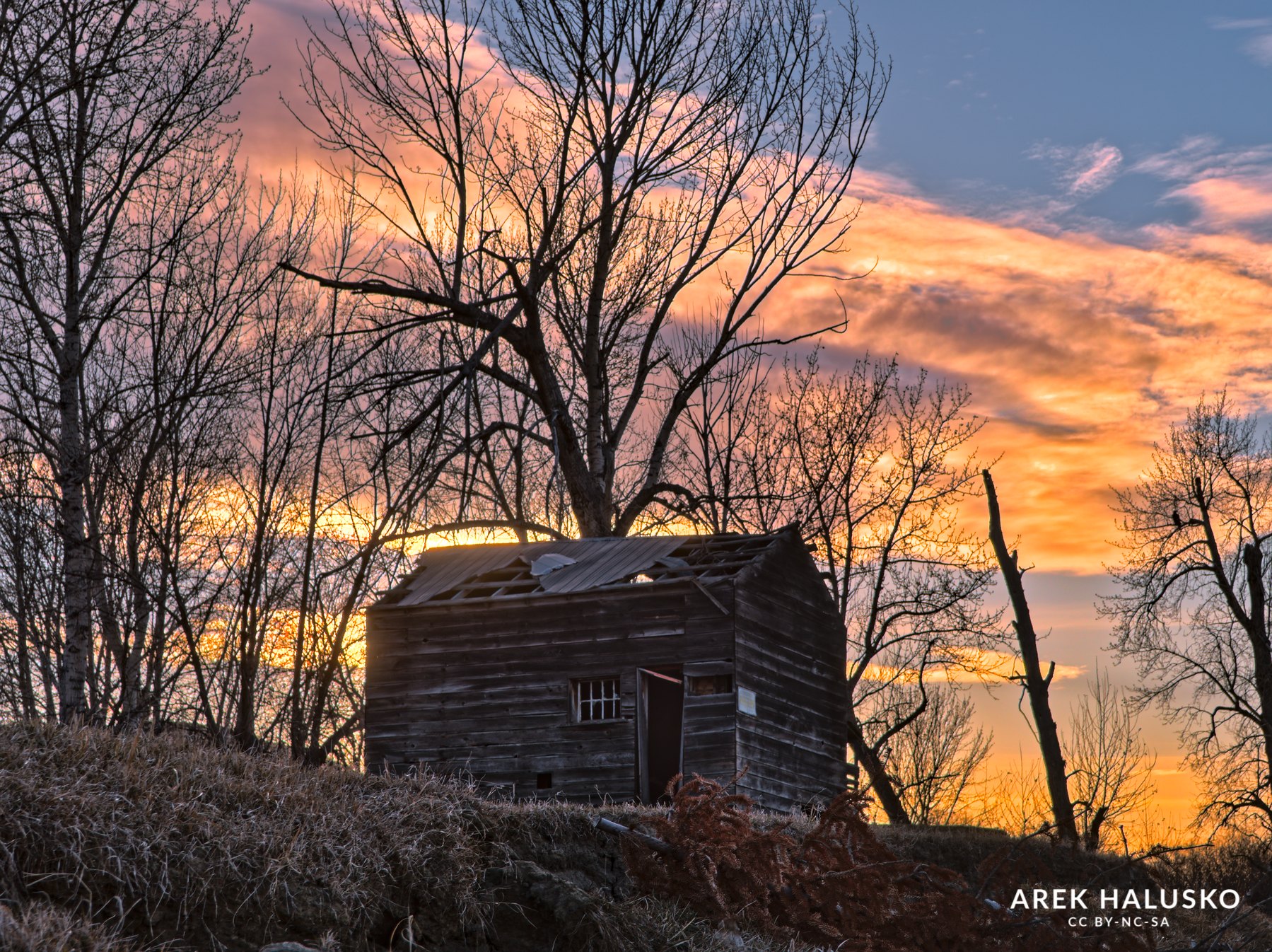
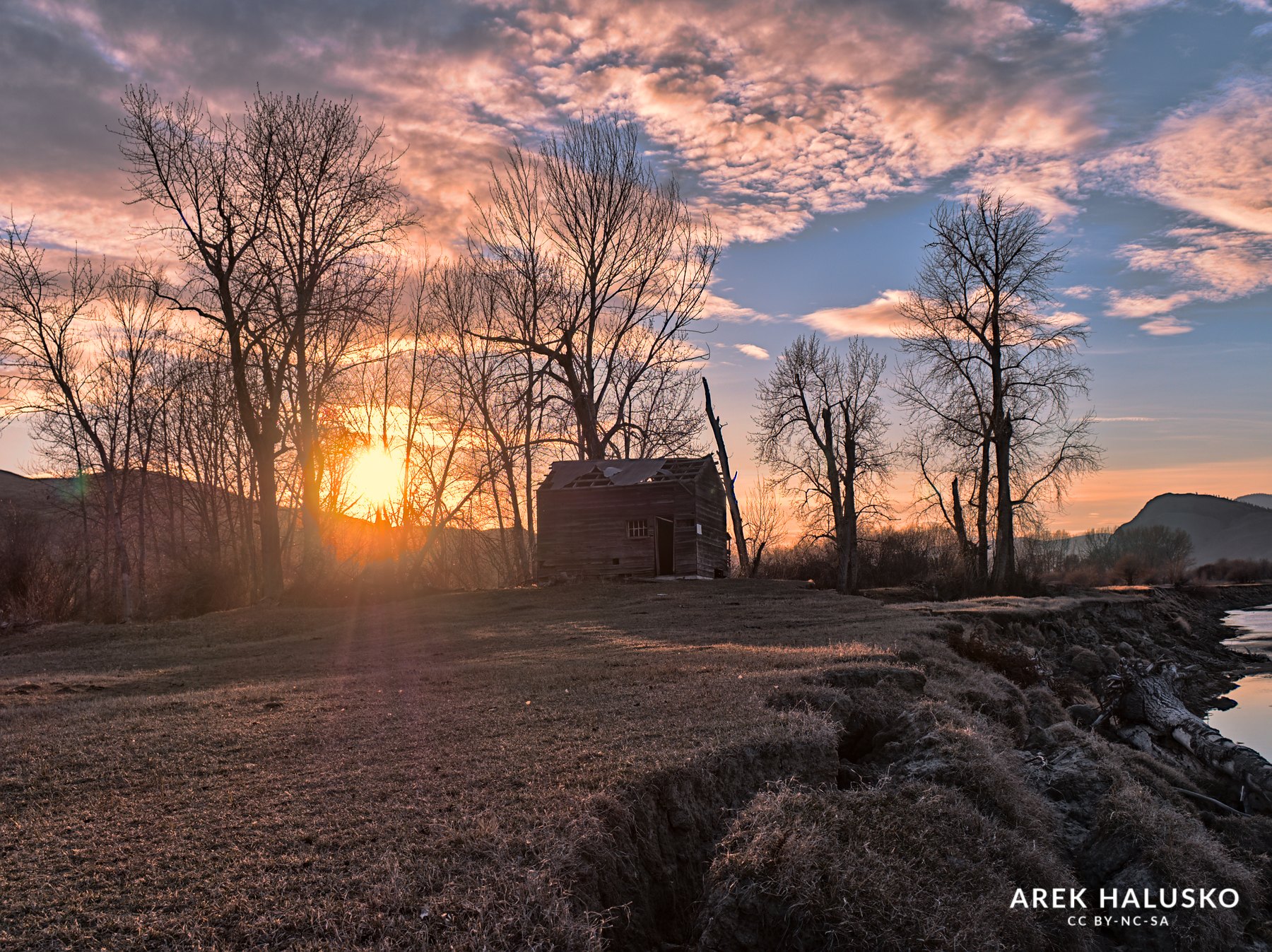
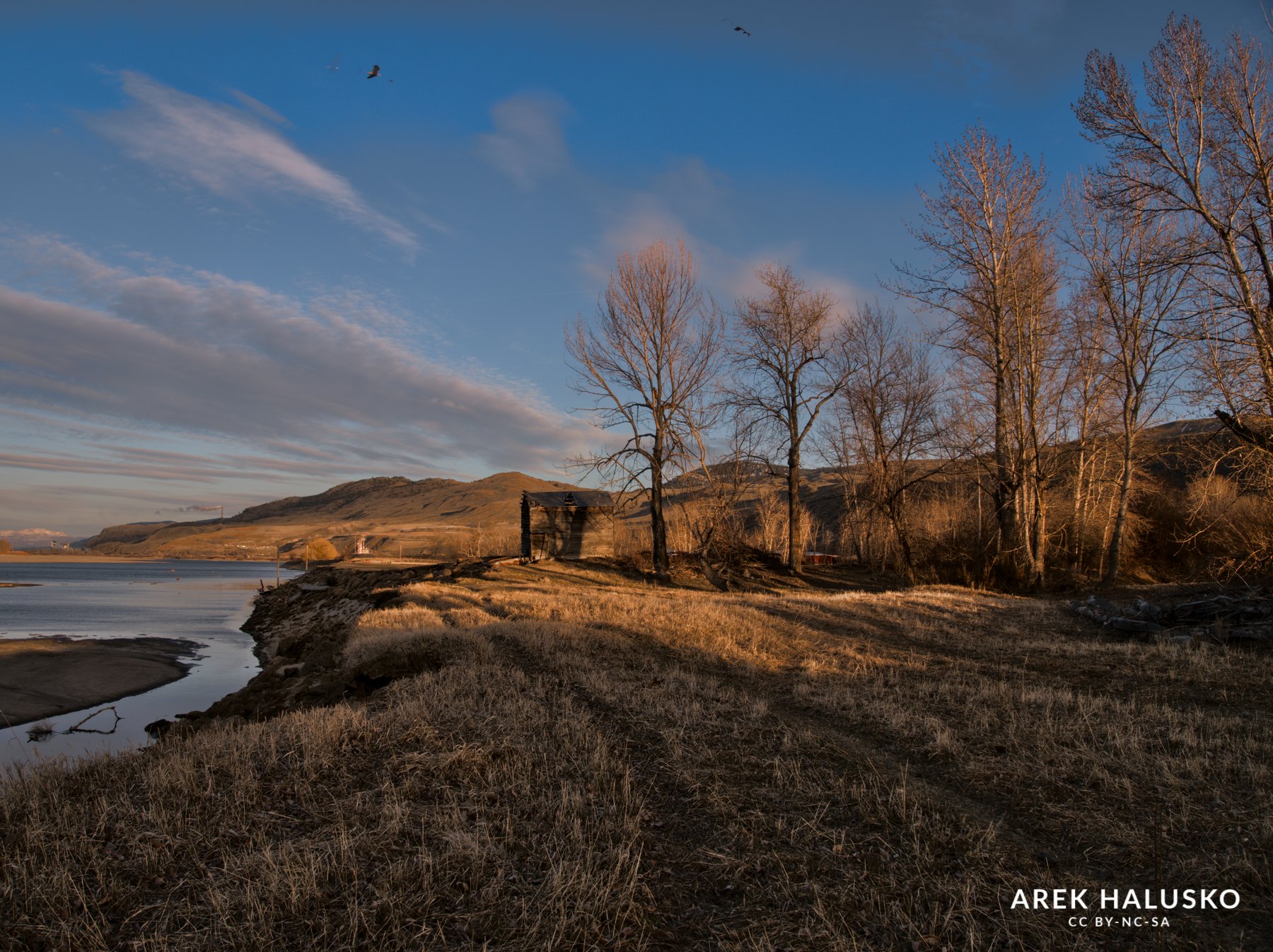
Last summer while boating on Kamloops lake I noticed an old building on a farm along the Thompson river mouth. What made it interesting was that you can face it looking west which would make a good sunset shot with the building as the main subject.
At that time the river and lake were quite high and the building was on private properly so looked like there wasn’t going to be an easy way to get there and with the water so high and covering the land no way to use the boat to get to it and set up the camera.
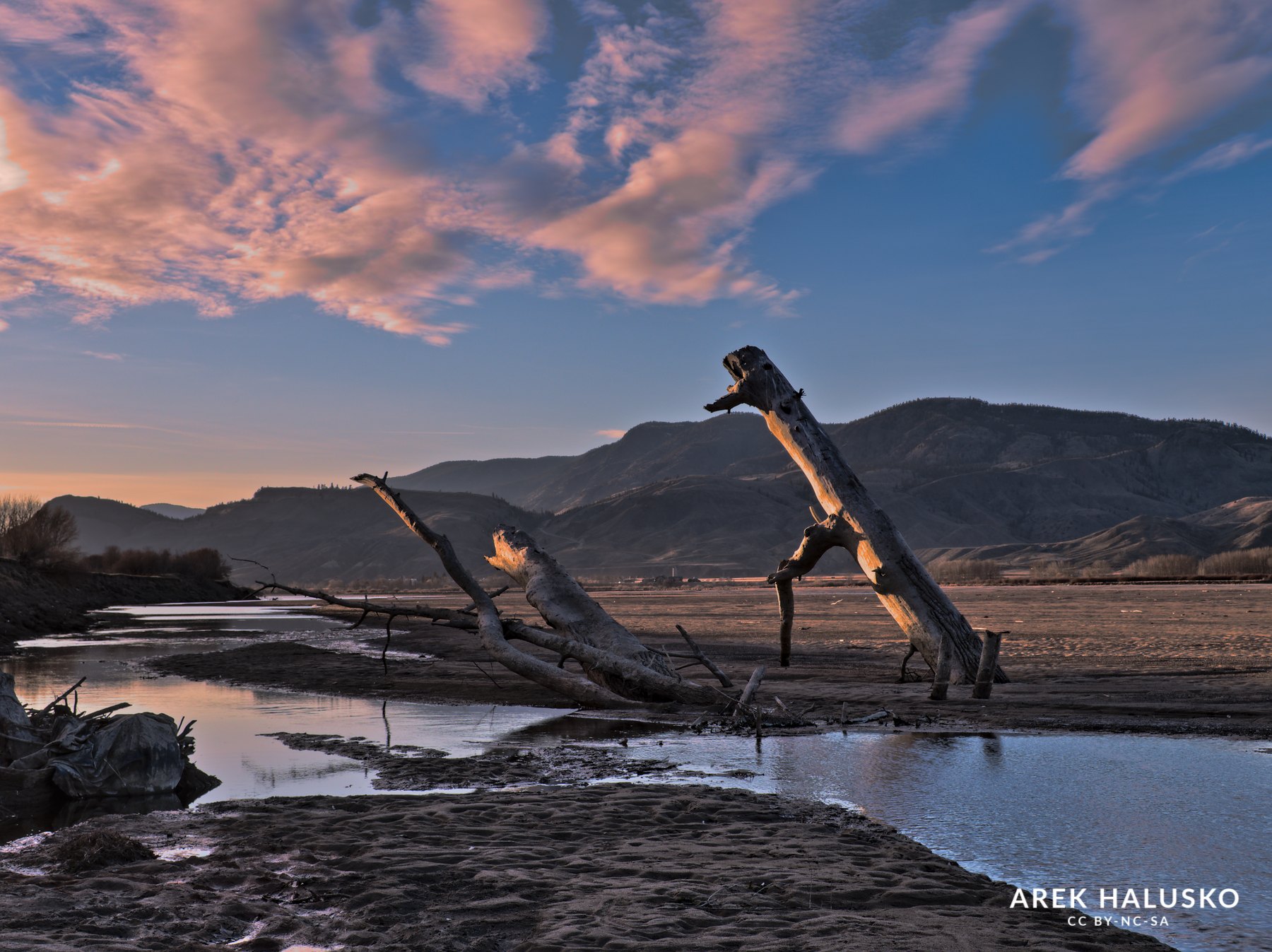
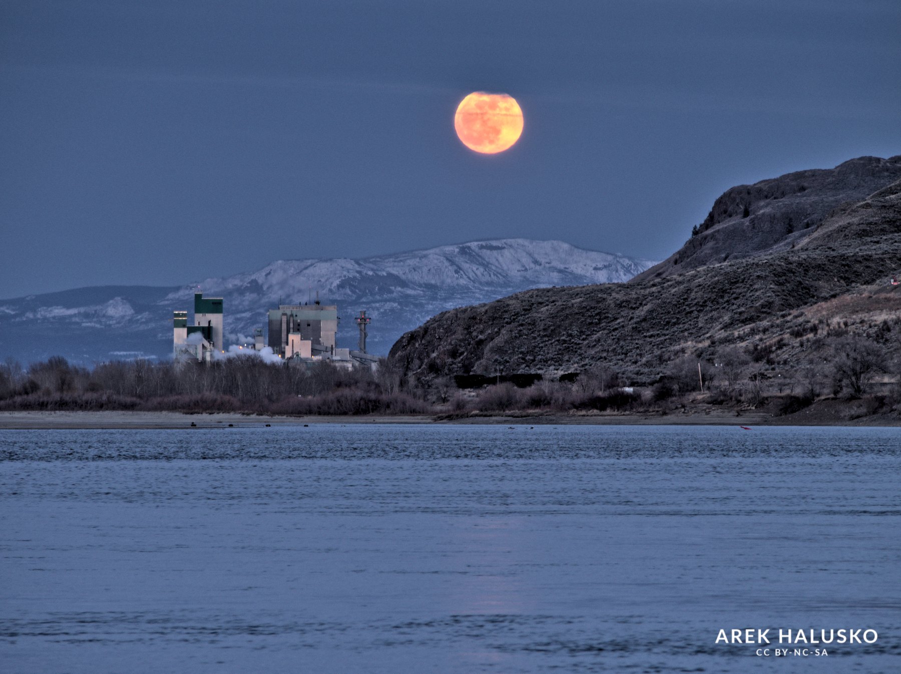
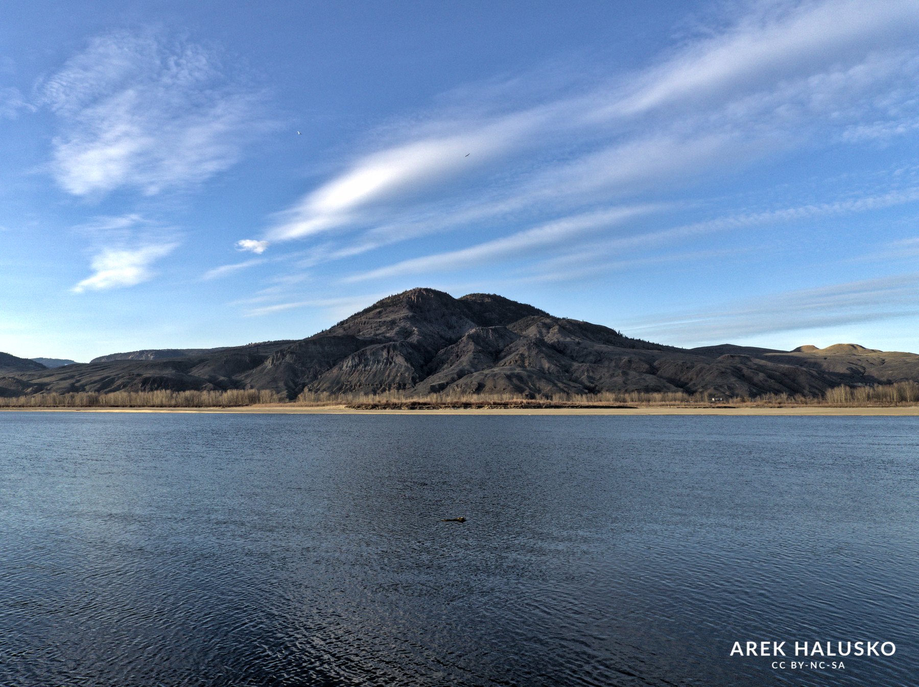
I abandoned the idea of a photo at the location until several months later when the Thompson River and Kamloops Lake are at super low water levels, it now looked like I would be able to “walk” along the river shore all the way to the old building site.
I started by making a route in Gaia GPS and headed to the starting location in Mission Flats area of Kamloops.
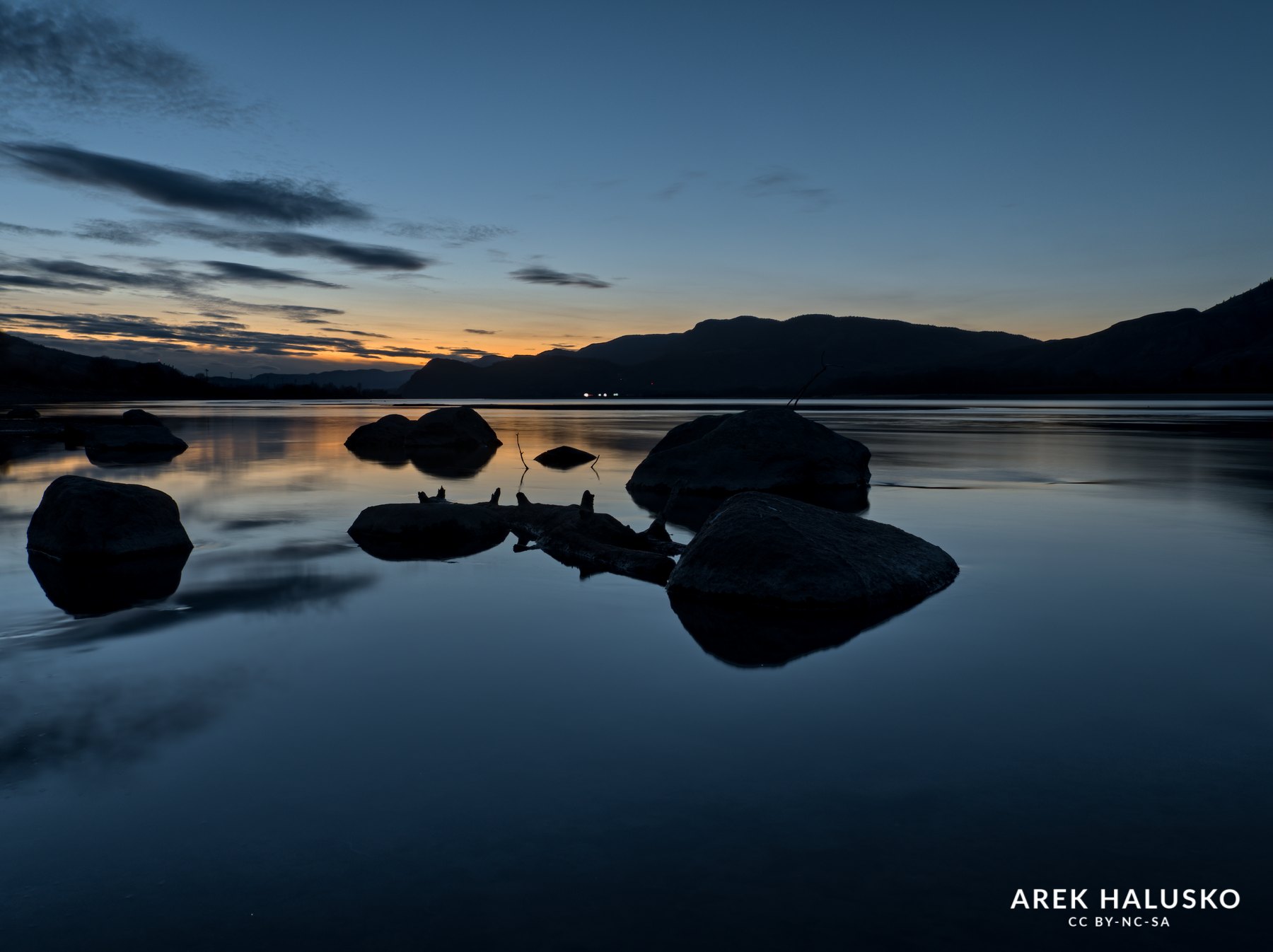
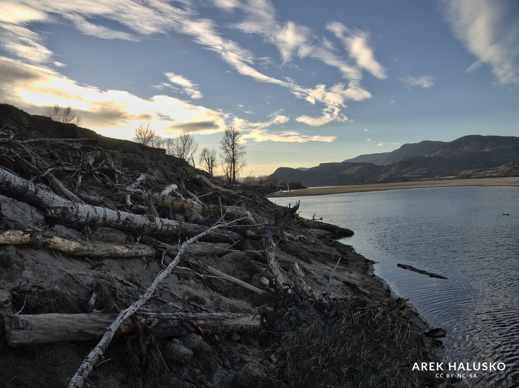
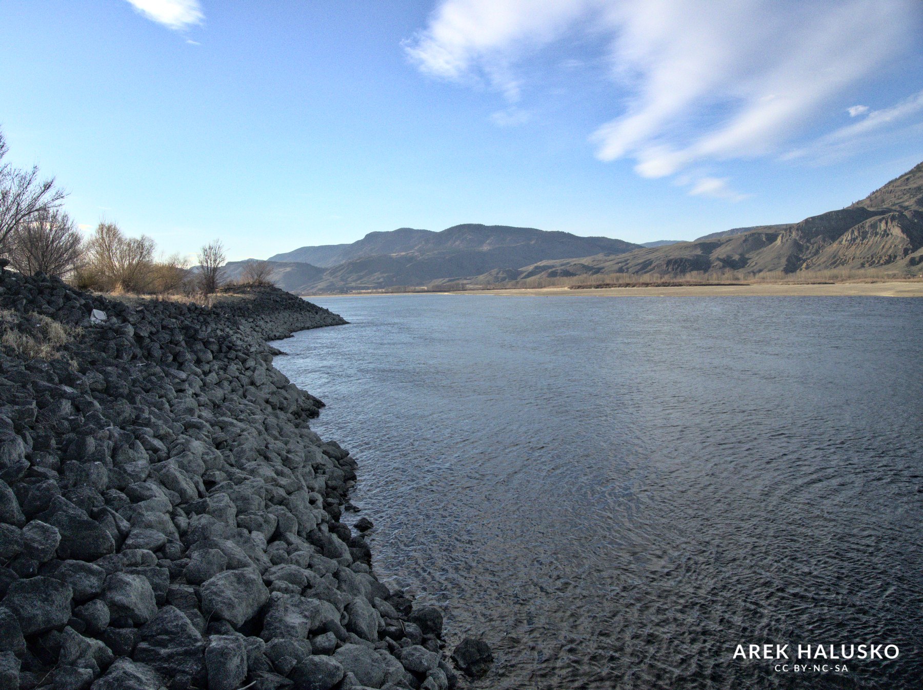
The walk itself started ok and was a mix of sand and rocks for about 500m until the bank turned into piles of large rocks and boulders used to keep the banks from eroding. As I kept on going the path got way more sketchy and now I was basically boulder hopping for about 2km while trying not to get crushed by unstable rocks lol.
After about an hour of angle killing action I arrived at the old building. The sun was getting close to the horizon and the sky was turning more colourful. It was still about 35 min till sunset but this time I decided to leave a bit early as I didn’t have a headlamp with me and wasn’t sure how difficult it would be to make the trek back in low light. I did manage to get some descent shots and will come back this location in a week or so.